Chasing a shorter, more predictable commute around South San Francisco can feel like a puzzle. You have rail nearby, shuttles serving major campuses, and two busy highways that can either save time or stall your day. If you know how the network works, you can choose a neighborhood that fits your routine and your budget.
In this guide, you’ll learn which South San Francisco areas tend to be commute-friendly, how each mode stacks up, and what to check before you buy. You’ll also get links to planning tools so you can verify routes, schedules, and projects. Let’s dive in.
How South San Francisco commutes work
South San Francisco sits between San Francisco and the mid-Peninsula, which gives you multiple ways to get to work. The city has a Caltrain station, county bus service, close highway access, and nearby BART stations in adjacent cities. Your best path depends on where you’re headed and when you travel.
Rail and nearby BART access
Caltrain connects South San Francisco to downtown San Francisco and Peninsula job centers. Service varies by time of day, so check the current Caltrain schedules and the Caltrain station map as you evaluate homes. South San Francisco does not have a BART station in-city. The closest options are Daly City, Colma, and Millbrae, which you can plan around using the BART system site.
Driving corridors
US‑101 and I‑280 are the main north–south highway routes. They provide direct access to San Francisco, SFO, and Peninsula job hubs. Peak congestion can add variability, so test your door-to-door drive during your actual commute hours. For upcoming projects that may affect travel times, scan the San Mateo County Transportation Authority project pages.
Buses and employer shuttles
SamTrans runs local and express buses that connect neighborhoods to Caltrain and nearby BART. Use the SamTrans route planner to see options from specific blocks. Many large employers, especially in the Oyster Point biotech cluster, operate private shuttles for employees. If a shuttle is part of your plan, confirm eligibility and stop locations during your home search.
Active transportation and local planning
Short commutes within South San Francisco can work well by bike or on foot, particularly around downtown and parts of Oyster Point. Walkability varies by corridor, so verify block-by-block with Walk Score. For transportation updates and neighborhood planning, the City of South San Francisco is your go-to resource.
Best areas for easy commutes
Below are neighborhoods and nearby cities that tend to work well for specific commute patterns. Match your primary destination and preferred mode to narrow your search.
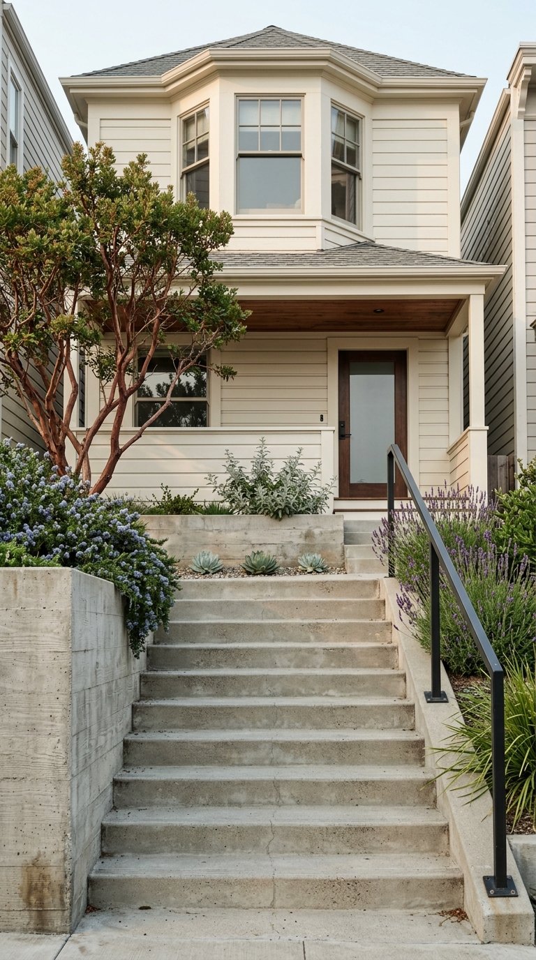
Downtown South San Francisco and Grand Avenue
- Why it works: You’re closest to the South San Francisco Caltrain station and a walkable commercial core. Rail access to downtown San Francisco and Peninsula stops is straightforward, and last‑mile shuttles can bridge gaps to nearby offices.
- Keep in mind: Homes and condos here are in a denser setting, and you may trade yard size for convenience. Expect some train and local traffic noise.
Oyster Point and The Waterfront
- Why it works: This is the heart of South San Francisco’s biotech corridor. If you work at employers near Oyster Point, you can often bike, walk, or take an employer shuttle. Newer housing options and mixed-use developments add convenience for short commutes.
- Keep in mind: Certain pockets feel more industrial and walkability varies. Many homes here are condos or attached units rather than larger single‑family lots.
Westborough and neighborhoods west of 101
- Why it works: These areas offer more traditional suburban layouts with single‑family homes and quick access to I‑280 and US‑101. If you drive to Peninsula or Silicon Valley employers, on‑ramp proximity is a plus.
- Keep in mind: Daily reliability hinges on highway conditions. For downtown San Francisco commutes, you may drive to Caltrain or a BART station rather than walking to transit.
Nearby cities: San Bruno, Millbrae, and Burlingame
- Why it works: Just outside South San Francisco, these cities provide additional BART and Caltrain options. Millbrae, in particular, connects BART and Caltrain in one hub, which can simplify transfers to SFO or the East Bay.
- Keep in mind: Prices and property types vary by city and neighborhood. Moving across city lines can also change local policies and services.
Southern Peninsula alternatives: San Mateo, Belmont, and Redwood City
- Why it works: If your job sits on the mid‑Peninsula or further south, living closer to work can shorten both Caltrain and driving times. You’ll still be in range of South San Francisco employers and SFO for travel.
- Keep in mind: You’ll be farther from San Francisco, so balance commute savings in one direction with lifestyle and weekend travel preferences.
Choosing the right commute mode
There’s no single “best” option. The smartest choice is the one you can repeat comfortably day after day. Here’s how the main modes compare in this corridor.
Car commuting
- Pros: Door‑to‑door flexibility and strong coverage for off‑peak travel. Can be fastest for some Peninsula jobs outside rail hubs.
- Cons: Peak congestion on US‑101 and I‑280 can be unpredictable. Parking near downtown San Francisco and some offices adds cost and time.
- Tip: Combine a short drive with rail or a shuttle using park‑and‑ride options near stations.
Caltrain
- Pros: Direct rail connection to downtown San Francisco and many Peninsula stops. It bypasses highway traffic and supports last‑mile links like shuttles and bike storage.
- Cons: Frequency and stop patterns vary by time of day. If you need to reach BART or the East Bay, a transfer is typical.
- Tip: Confirm walking distance to the station and check the Caltrain schedules that match your work hours.
Buses and employer shuttles
- Pros: SamTrans express routes can leverage US‑101 efficiently during peak hours. Employer shuttles are tailored to major campuses and can be very reliable.
- Cons: Service windows are usually weekday‑focused with fewer late‑night options. Routes may shift with employer needs.
- Tip: Use the SamTrans route planner to test connections, and verify shuttle access with your employer.
Biking and walking
- Pros: For Oyster Point and nearby offices, a short bike ride or walk can beat the car in both time and predictability.
- Cons: Hills and infrastructure gaps can affect comfort and safety. Conditions vary by corridor and time of day.
- Tip: Cross‑check block‑level walkability and bikeability with Walk Score and local maps.
Multimodal strategies
- Pair a short drive or bike ride with Caltrain for predictable arrival times.
- Use shuttles for the last mile from stations to office campuses.
- Test both AM and PM peaks to confirm realistic total travel time.
What to check before you buy
Make your short list, then pressure‑test the commute like a pro.
- Identify your primary work destination and your preferred mode.
- Time‑trial your route during real weekday peaks in both directions.
- Measure the walk or bike distance to Caltrain or shuttle stops, and confirm parking options and restrictions.
- Ask about noise from trains or highways and any air quality concerns.
- Verify employer shuttle eligibility and pickup locations from your target blocks.
- Look into planned transportation projects that could affect travel or property values via the San Mateo County Transportation Authority and MTC regional plans.
- Compare reliability to raw speed. A few extra minutes on a predictable rail or shuttle run can beat a faster but volatile drive.
Market trade‑offs to weigh
You can usually buy more space by moving away from transit, but that can add commute time or variability. Think through the trade‑offs before you write an offer.
- Proximity premium: Homes and condos within walking distance of the South San Francisco Caltrain station or near major shuttle stops often command a premium.
- Home types: Condos and townhomes tend to cluster near transit and mixed‑use areas, which can be more budget‑friendly than single‑family homes that sit close to major corridors.
- Noise and privacy: Living near US‑101 or the rail line can save time but may add noise. Visit at different times to evaluate.
- Rental demand: Proximity to transit and major employment hubs, especially the biotech cluster, can support strong rental demand if you’re weighing future investment potential.
Plan with the right tools
Stay current as you research. Schedules, routes, and projects evolve.
If commute quality is a top priority, you deserve a search strategy that matches how you actually travel. We help buyers map commute scenarios to specific blocks and buildings, then weigh costs, trade‑offs, and potential improvements so you can move with confidence.
Ready to find a home that makes your mornings easier? Reach out to Minna Real Estate for a local, commute‑savvy plan tailored to your work, your budget, and your timeline.
FAQs
What South San Francisco areas are best for Caltrain access?
- Downtown South San Francisco and the Grand Avenue corridor place you closest to the SSF Caltrain station, which simplifies rail commutes to downtown San Francisco and Peninsula stops.
How can I use BART if I live in South San Francisco?
- SSF does not have an in‑city BART station. Many residents drive or take SamTrans to Daly City, Colma, or Millbrae, then connect using the BART system site to plan transfers.
Is Oyster Point a good place to live if I work in biotech nearby?
- Yes, Oyster Point and the Waterfront area are close to major biotech campuses. Short bike rides, walks, or employer shuttles can make daily travel fast and predictable.
What if I commute south to Redwood City or Palo Alto?
- Consider southern Peninsula locations like San Mateo, Belmont, or Redwood City. Living closer to your job can shorten both drive and Caltrain trips.
How do I verify commute times before making an offer?